Santa Maria - Azores - LPAZ
01/03/08 22:50 Filed in: Azores
Our
staging area for our move to the New Esperides.
“Leaving São Miguel, and after travelling 52 nautical miles (about fifteen minutes by plane) you will arrive at Santa Maria’s, international airport. Santa Maria is the third smallest island of the Azores and has a surface area of approximately 92 km2.
Your first sensation will be a sense of peace and tranquillity, a sensation common to the Azorean Islands.
The landscape of Santa Maria presents a contrast between the flat plains on the western half of the island where the airport and the parishes of Vila do Porto, São Pedro and Almagreira are located, and the irregularity of the eastern half. The eastern side is home to the parishes of Santa Bárbara and Santo Espírito as well as the islands’ highest point, “Pico Alto”.
The climate is similar to the other eight islands, but as Santa Maria is the southern most island it is slightly drier and sunnier.
Of particular architectural interest are the white houses with their peculiar white chimneys, especially the round and lanky ones that rise from a truncated pyramid. These chimneys are decorated by a lacy finish revealing the Algarvian (Southern Portugal) origin of the first settlers.
Santa Maria was the first island discovered (1427) and later the first populated. Diogo Silves, a Portuguese navigator discovered the island and Frei Gonçalo Velho was the first governor.
Spread throughout the island are many interesting examples of the architectural heritage which mark the history of the island and the Azores.”
Source: The Azores Tourist Guide
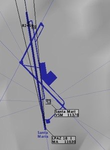
LPAZ Airport runway data
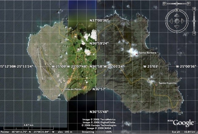
Satellite Image with a superimposed grid
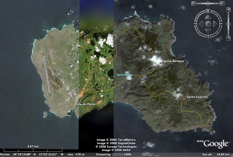
Satellite image
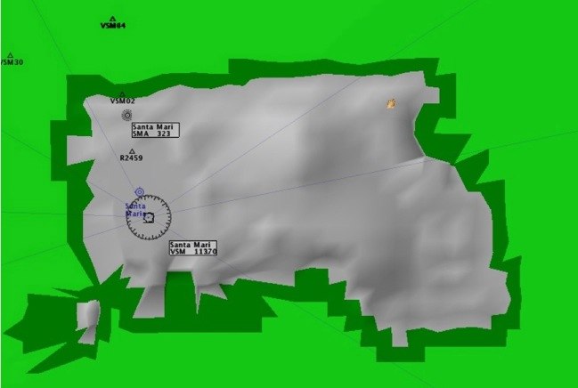
High Enroute
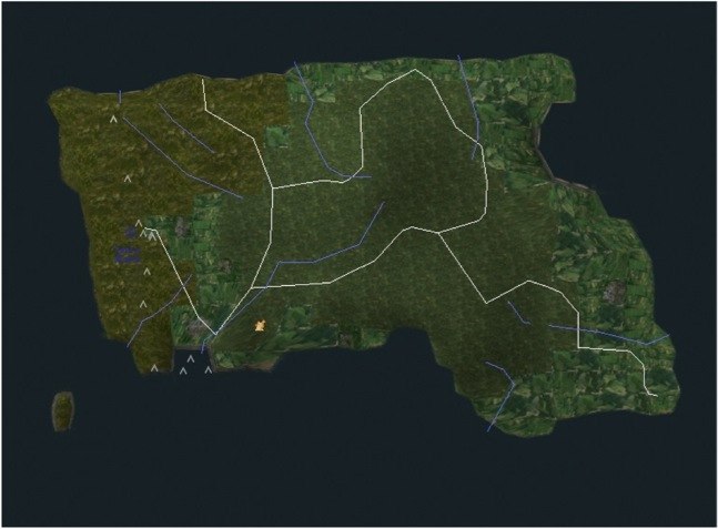
Textured
“Leaving São Miguel, and after travelling 52 nautical miles (about fifteen minutes by plane) you will arrive at Santa Maria’s, international airport. Santa Maria is the third smallest island of the Azores and has a surface area of approximately 92 km2.
Your first sensation will be a sense of peace and tranquillity, a sensation common to the Azorean Islands.
The landscape of Santa Maria presents a contrast between the flat plains on the western half of the island where the airport and the parishes of Vila do Porto, São Pedro and Almagreira are located, and the irregularity of the eastern half. The eastern side is home to the parishes of Santa Bárbara and Santo Espírito as well as the islands’ highest point, “Pico Alto”.
The climate is similar to the other eight islands, but as Santa Maria is the southern most island it is slightly drier and sunnier.
Of particular architectural interest are the white houses with their peculiar white chimneys, especially the round and lanky ones that rise from a truncated pyramid. These chimneys are decorated by a lacy finish revealing the Algarvian (Southern Portugal) origin of the first settlers.
Santa Maria was the first island discovered (1427) and later the first populated. Diogo Silves, a Portuguese navigator discovered the island and Frei Gonçalo Velho was the first governor.
Spread throughout the island are many interesting examples of the architectural heritage which mark the history of the island and the Azores.”
Source: The Azores Tourist Guide

LPAZ Airport runway data

Satellite Image with a superimposed grid

Satellite image

High Enroute

Textured


